
0422 230 1320
Phone line
Mon to Fri 10:00-17:45
Working hours
Coimbatore
Collector Office
Geographical Setup
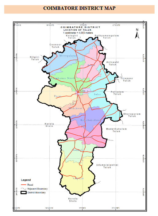
Coimbatore district is in the western part of Tamil Nadu, bordering the state of Kerala. It is located on the banks of the Noyyal River and surrounded by the Western Ghats. Coimbatore is the second largest city in Tamil Nadu after Chennai in terms of population and the 16th largest urban agglomeration in India as per the census 2011. Coimbatore is one of the most industrialized cities in Tamil Nadu, known as the textile capital of South India or the Manchester of the South.
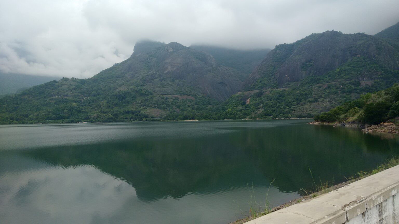
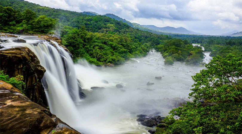
The city is divided into two distinctive geographic regions: the dry eastern side which includes majority of the urban area of the city and the western region which borders the Nilgiris, Anaimalai and Munnar ranges. Palghat Gap, a mountain pass which connects the neighbouring state of Kerala to Tamil Nadu, lies to the west of the city. Because of its location in the biodiversity hotspot of the Western Ghats, a UNESCO World Heritage Site, the city is rich in fauna and flora. The northern part of the city has a rich tropical evergreen forest with commercially significant trees such as teak, sandalwood, rosewood and bamboo. The soil is predominantly black, which is suitable for cotton cultivation, but some red loamy soil is also found. According to the Bureau of Indian Standards, Coimbatore falls under the Class III/IV Seismic Zone
Location
The region is bounded by Tiruppur district in the east, Nilgiris district in the north, Erode district in the northeast, Palakkad district, Idukki district and small parts of Thrissur district and Ernakulam district of neighbouring state of Kerala in the west and south respectively.
Contact info
Coimbatore District Mineral Foundation Trust.
- Coimbatore, Collector Office, Tamilnadu
- 0422 230 1320
- collrcbe@nic.in